


")
Welcome
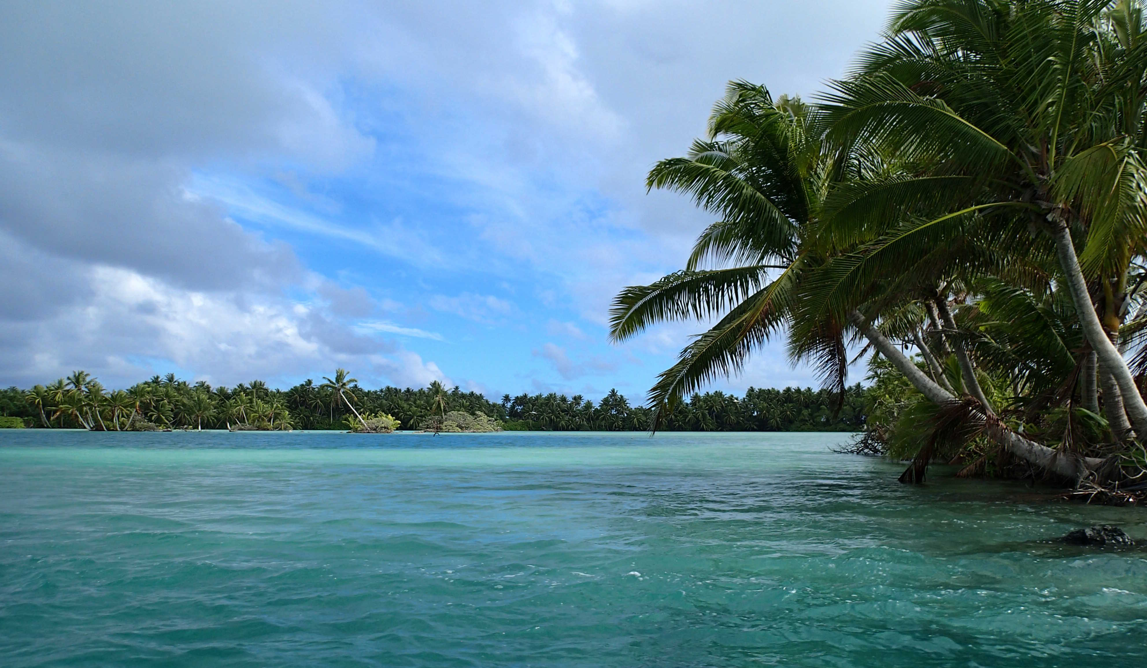
Although ocean islands are ubiquitous on the planet, and are homes to a stunning variety of people, plants, and animals, there have been surprisingly few attempts to accurately delineate all the islands on Earth. Every landmass, no matter how big, is surrounded by ocean waters. Island sizes range from continental (e.g. Africa), to very large (e.g. Madagascar) to large (e.g. Tasmania) to medium (e.g. Maui), to small (e.g. Key West) to very small islands and tiny rock outcrops. Size is relative, however, and there is no accepted standard for what separates big islands from small islands. A new mapping of global coastlines from satellite imagery was used to develop a new global islands database, which can be accessed using the new Global Island Explorer (GIE). The new islands data are also available for download.
Global Island Explorer (GIE)
This resource was developed by the U.S. Geological Survey (USGS) in partnership with Esri. The tool was developed as part of a Group on Earth Observations (GEO) initiative called GEO Ecosystems (GEO ECO), and is associated with a GEO ECO task to develop global coastal ecosystems data. The tool allows for the visualization and query of the new global islands data, which includes 340,691 islands. Pan, zoom, and query functionality are included. The islands can be displayed over a number of backdrops including satellite imagery, topographic basemaps, light and dark background canvas, etc. A query of any island returns its name (in English and when available - over 60,000 islands currently have name attributes), size, size class (continental mainland, large island, or small island), length of coastline, and the tectonic plate to which it is attached.
Islands were grouped into three size classes: continental mainlands, big islands, and small islands. There are five continental mainland islands in the database: North America, South America, Africa, Eurasia, and Australia, where the Americas are separated at the Panama Canal, and Africa is separated from Eurasia at the Suez Canal. The five continental mainlands are single, very large polygons representing the continental landmass interiors not including any offshore islands. Big islands are any island greater in size than 1 km2, and there are 21,818 big islands in the database. The remaining 318,868 islands are all less than 1 km2 and are classed as small islands.
The global islands database was developed in association with a GEO ECO project to map standardized, robust, and practical global coastal ecosystems. The coastal ecosystems are to be mapped in three ecological zones: coastal land areas, nearshore coastal waters, and offshore coastal waters. To separate the coastal lands from the nearshore coastal waters, a high resolution global shoreline vector is necessary as the boundary between terrestrial and marine environments. After judging existing global shoreline characterizations as unsatisfactory based on accuracy, standardization of development, and availability in the public domain (non-proprietary), a new 30 m resolution Global Shoreline Vector (GSV) was produced by interpreting satellite imagery from 2014 in Google Earth Engine. After the GSV was produced, it was converted to a polygon database to create a new global islands resource. Details on both the new global shoreline vector and the new global islands database, as well as plans to use these resources to map standardized coastal ecosystems, are available in (Sayre et al., 2018).
Global Islands Data
Reference:
Sayre, R., S. Noble, S. Hamann, R. Smith, D. Wright, S. Breyer, K. Butler, K. Van Graafeiland, C. Frye, D. Karagulle, D. Hopkins, D. Stephens, K. Kelly, Z, basher, D. Burton, J. Cress, K. Atkins, D. van Sistine, B. Friesen, B. Allee, T. Allen, P. Aniello, I Asaad, M. Costello, K. Goodin, P. Harris, M. Kavanaugh, H. Lillis, E. Manca, F. Muller-Karger, B. Nyberg, R. Parsons, J. Saarinen, J. Steiner, and A. Reed. 2018. A new 30 meter resolution global shoreline vector and associated global islands database for the development of standardized global ecological coastal units. Journal of Operational Oceanography – A Special Blue Planet Edition. DOI:10.1080/1755876X.2018.1529714. https://doi.org/10.1080/1755876X.2018.1529714
Contacts:
Roger Sayre, U.S. Geological SurveyJill Cress, U.S. Geological Survey, GIE Developer and Webmaster