


Welcome
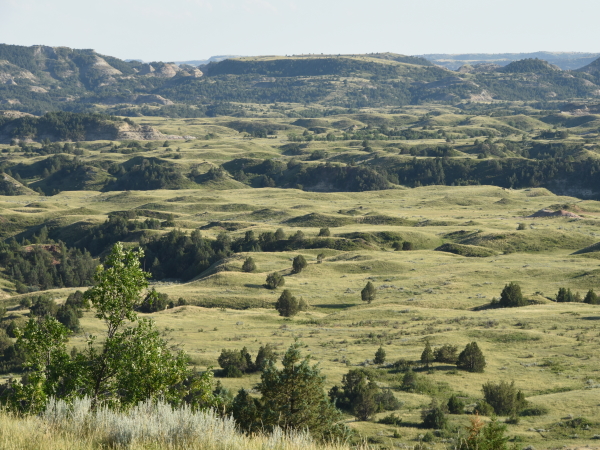
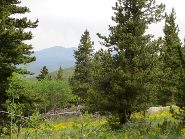
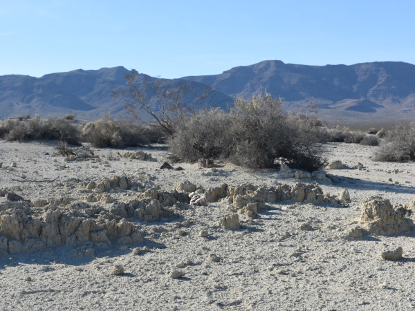
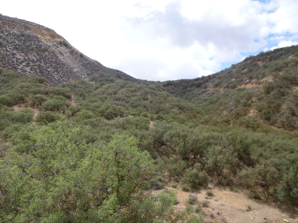


Ecosystems are distinct areas on the planet which differ based on their environmental settings and assemblages of organisms. Ecosystems provide goods (e.g. food, fiber, fuel, etc.) and services (e.g. pollination, flood control, carbon sequestration, etc.) necessary for human survival. It is therefore important that healthy ecosystems persist into the future, which will require managing them in a sustainable fashion. Managing ecosystems requires first knowing what ecosystems exist on the planet and where they are located. This online explorer tool, the World Terrestrial Ecosystems Explorer, allows for the map-based visualization and query of any terrestrial location on Earth for its ecosystem type and characteristics.
World Terrestrial Ecosystems Explorer (WTEE)
In a first-of-its-kind effort to map the distribution of global terrestrial ecosystems at a detailed spatial resolution (250 m), the U.S. Geological Survey, Esri, and The Nature Conservancy joined forces to produce a standardized, robust, and practical map of World Terrestrial Ecosystems (WTEs). The WTEs were conceptualized and delineated as areas with unique combinations of climate setting, landforms, and vegetation/land cover. The WTEs were produced from a spatial combination of three input datalayers; World Climate Regions (eighteen classes produced from thirty years of WorldClim v. 2.0 temperature and precipitation data), World Landforms (four classes (plains, hills, mountains, and tablelands) produced from a DEM-derived global Hammond landforms layer), and World Vegetation/Land Cover (8 classes produced from 2015 European Space Agency global land cover data).
The work produced 431 WTEs, including both ‘natural’ ecosystems (e.g. different kinds of forests, shrublands, grasslands, bare areas, etc.) and ‘converted’ landscapes (e.g. croplands, settlements). The full methodological details on how the WTEs were developed, as well as the results of a gap analysis detailing the representation of WTEs in global protected areas, is presented in Sayre et al., 2020.
Additional information is provided in this storymap:
https://storymaps.arcgis.com/stories/a4a6b1f779be4b64816d1876cfe669b9
World Terrestrial Ecosystems (WTE) 2020 Data
Reference:
Sayre, R., D. Karagulle, C. Frye, T. Boucher, N. Wolff, S. Breyer, D.Wright, M. Martin, K. Butler, K. Van Graafeiland, J. Touval, L. Sotomayor, J. McGowan, E. Game, and H. Possingham. 2020. An assessment of the representation of ecosystems in global protected areas using new maps of World Climate Regions and World Ecosystems. Global Ecology and Conservation 21(e00860), ISSN 2351-9894 https://doi.org/10.1016/j.gecco.2019.e00860.
Contacts:
Roger Sayre, U.S. Geological SurveyJill Cress, U.S. Geological Survey, WTEE Developer and Webmaster